
QGIS Essentials for Marine Science Professionals
Map the Ocean, Empower Decisions
Explore the power of QGIS in marine science with this hands-on course designed for professionals and students. Learn to visualize, analyze, and communicate ocean data using open-access GIS tools. From mapping marine habitats to interpreting satellite imagery, you’ll build practical skills for conservation and research—at your own pace with expert support.
REGISTER TODAY COURSE TOPICSDiscover the synergy of Geographic Information Systems (GIS) and marine science through our comprehensive online course. Whether you're a seasoned marine scientist, a student on an academic journey, or a GIS enthusiast seeking specialized training, this course caters to all. You'll master QGIS, an open-access software that empowers you to create maps, process data, and perform marine spatial analysis. From understanding GIS fundamentals to diving deep into oceanography and habitat mapping, this course equips you with the skills to make informed decisions, design marine conservation initiatives, and convey your findings effectively through captivating maps and animations.
Course Objectives Benefiting the Participant:
- Practical Proficiency: Develop practical GIS skills that are instrumental in your career and educational pursuits.
- Data-Driven Decision-Making: Utilize GIS for informed choices in marine science, conservation, and research.
- Spatial Expertise: Gain the ability to analyze and visualize complex marine ecosystems, facilitating habitat mapping and conservation planning.
- Environmental Responsibility: Support sustainable marine resource management and contribute to conservation efforts.
- Versatile Knowledge: Acquire interdisciplinary expertise in both GIS and marine science, enhancing your value in diverse roles and projects.
Spatial photocredit for course words: LANDSAT Imagery
IMarEST Accredited
The Institute of Marine Engineering, Science and Technology (IMarEST) is an international society for marine professionals. IMarEST provides a peer-reviewed assessment of courses to ensure effective delivery of rigorous technical content. QGIS Essentials for Marine Science Professionals is recognized as an accredited Continuing Professional Development (CPD) course by IMarEST.
Learn More About IMarEST CPD
Take A Look Inside Our Course
Frequently Asked Questions
QGIS is an open-access Geographic Information System (GIS) platform that is widely recognized in the scientific community and frequently used for spatial analysis and visualization. QGIS is freely available and compatible with all major operating systems. For this course, participants will need to download and install QGIS on their personal computers in order to complete the hands-on activities. As such, installation privileges are required. A strong internet connection is recommended for accessing course materials hosted on Kajabi, but all GIS work will be completed locally using the installed software.
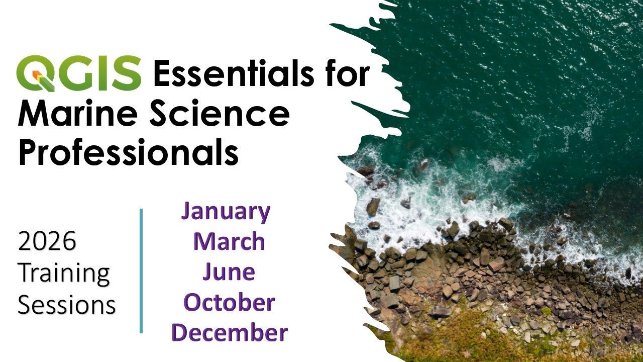
Training groups are limited in capacity due to the support provided during the course. However, you can join a training group at any time during the indicated month and still have the same period of access (30 days). For example, if you join the course on April 10, you will have access until through May 9th.
That is up to you! There is approximately 16-25 hours worth of training materials, but individuals work at different paces depending on their familiarity with software and comfort level with computers. The 30 days of access is intended to allow you to work at your own pace.
If a scenario arises where you are in need of more time, we are happy to work with you to help you meet you goal of completing the training. The best approach is to contact us if you encounter an issue!
A certificate is provided upon completion of all module activities. QGIS Essentials is accredited with the Institute of Marine Engineering, Science and Technology as a Continuing Professional Development (CPD) course.
Yes! We have closed captions in English for all videos.